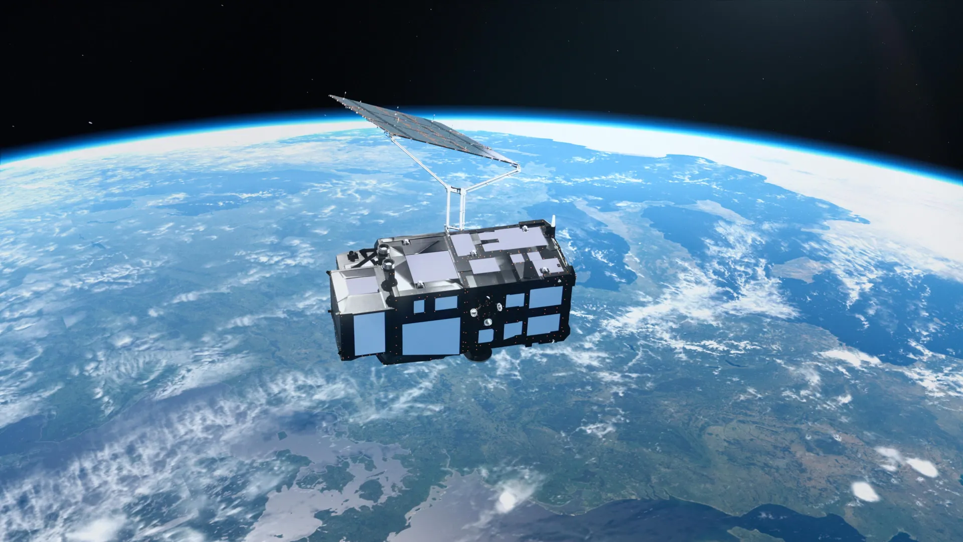
Stunning New Satellite Photos Reveal Earth’s Rapid Changes
Just two weeks after its launch, Europe’s latest Earth‑observing satellite, Sentinel‑3C, is already beaming back breathtaking, high‑resolution images that showcase the planet’s dynamic surface. Operated by the European Space Agency, the satellite’s advanced radar and optical sensors are capturing crystal‑clear views of oceans, ice sheets, forests, and deserts, helping scientists track everything from rising sea levels to shrinking glaciers. The first batch of pictures highlights dramatic shifts in the Arctic’s ice cover, vivid patterns of phytoplankton blooms in the Southern Ocean, and subtle changes in coastal erosion along vulnerable shorelines. Beyond the visual splendor, Sentinel‑3C’s data will feed into climate models, improve weather forecasts, and support disaster‑response teams by providing near‑real‑time monitoring of floods, wildfires, and oil spills. ESA officials say the mission is a key piece of the global effort to understand how human activity and natural forces are reshaping Earth. As more images pour in, researchers and the public alike will gain an unprecedented, up‑close look at the planet’s health, turning spectacular snapshots into actionable science for a more sustainable future.
Read more